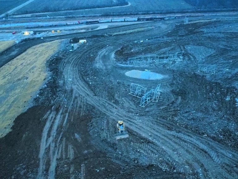
Construction Mapping
Drone construction mapping is the process of using UAVs equipped with cameras or LiDAR to capture high‑resolution aerial images of a job site. These images are processed into accurate 2D orthomosaic maps, 3D models, topographic surfaces, and volume measurements
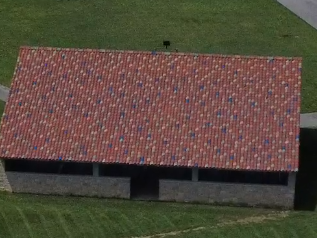
Roof Inspections
Drone roof inspections use UAVs with high‑resolution or thermal cameras to safely capture detailed images of a roof without needing to climb or walk on it. This method is faster, safer, and more accurate than traditional inspections, helping identify damage, wear, leaks, and storm issues while providing clear documentation for repairs or insurance.
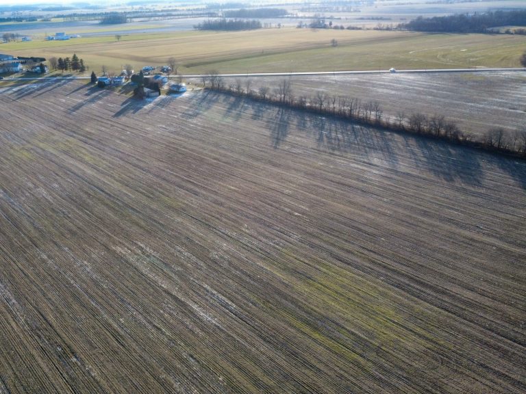
Developmental land Inspections And Mapping
Developmental land inspections and mapping use drones to capture high‑resolution aerial data that supports land planning, site evaluation, and project development. This includes everything from raw land assessment to pre‑construction documentation and ongoing progress monitoring.

Weddings and Celebrations
Drone footage brings a breathtaking new perspective to your wedding day. With smooth cinematic flyovers, sweeping venue shots, and intimate aerial moments, we capture the beauty, emotion, and atmosphere of your celebration in a way traditional cameras simply can’t. Every angle, every detail, every moment — seen from the sky.
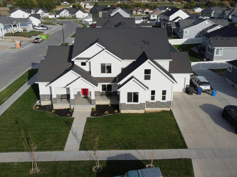
We help real estate agents elevate their listings with clean, cinematic aerial imagery that captures every angle of a property. Our FAA‑certified remote pilot delivers fast, safe, and precise drone photography and videography designed to showcase the homes.
Real Estate
COMING SOON