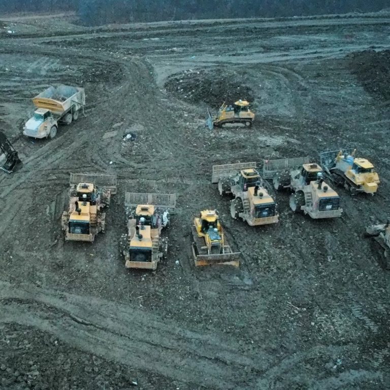
Construction Mapping
According to industry sources, drones allow teams to map entire sites in minutes instead of days, generate precise 3D models, track progress, measure stockpiles, and compare design plans to as‑built conditions far more efficiently than traditional ground surveys.
1. Faster Data Collection
Drone mapping replaces slow, manual surveying with rapid aerial capture. Industry sources note that drones can map large sites in minutes and dramatically speed up workflows.
2. High Accuracy & Reliable Measurements
Modern drone software produces precise orthomosaics, 3D terrain models, and cut/fill analyses, giving teams survey‑grade data they can trust for planning and verification.
3. Better Progress Tracking
Drones provide consistent, repeatable aerial views that help teams document work, compare progress over time, and maintain alignment across project management layers.
4. Improved Safety
Drones reduce the need for workers to enter hazardous or hard‑to‑reach areas, lowering risk while still capturing detailed site information.
.5. Cost Savings
By speeding up surveys, reducing rework, and improving coordination, drone mapping delivers real cost savings across construction workflows.
6. Full Site Visibility
Aerial data gives project managers a complete, real‑time view of the job site, helping them make smarter decisions and catch issues early.
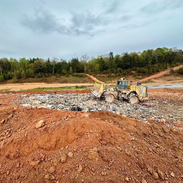
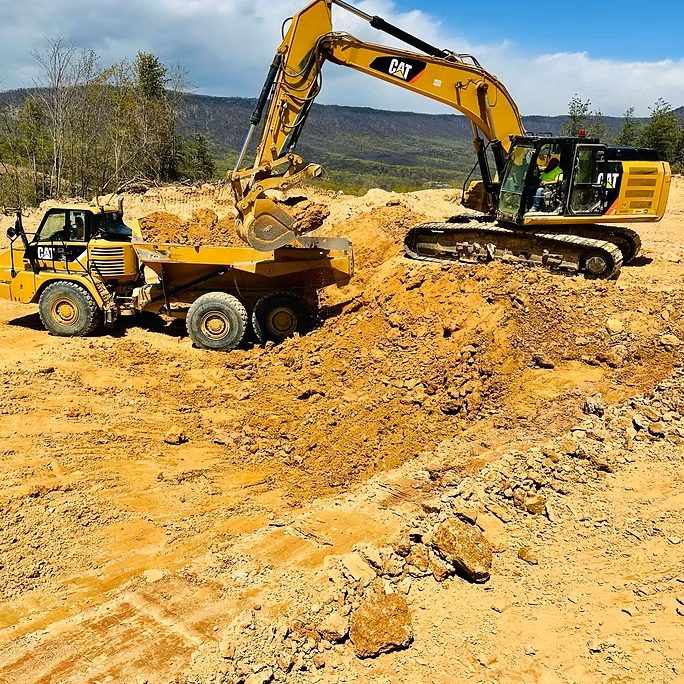
7. Efficient Earthwork & Volume Measurements
Drones can quickly measure stockpiles, track earthmoving, and calculate cut/fill volumes with high precision—far faster than ground crews.