Developmental land Inspections And Mapping
See your land like never before.
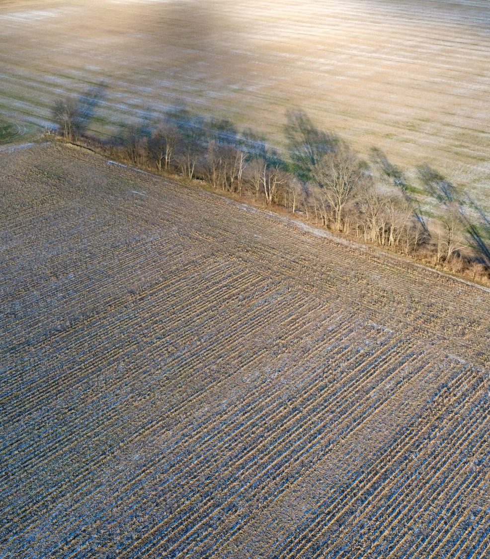
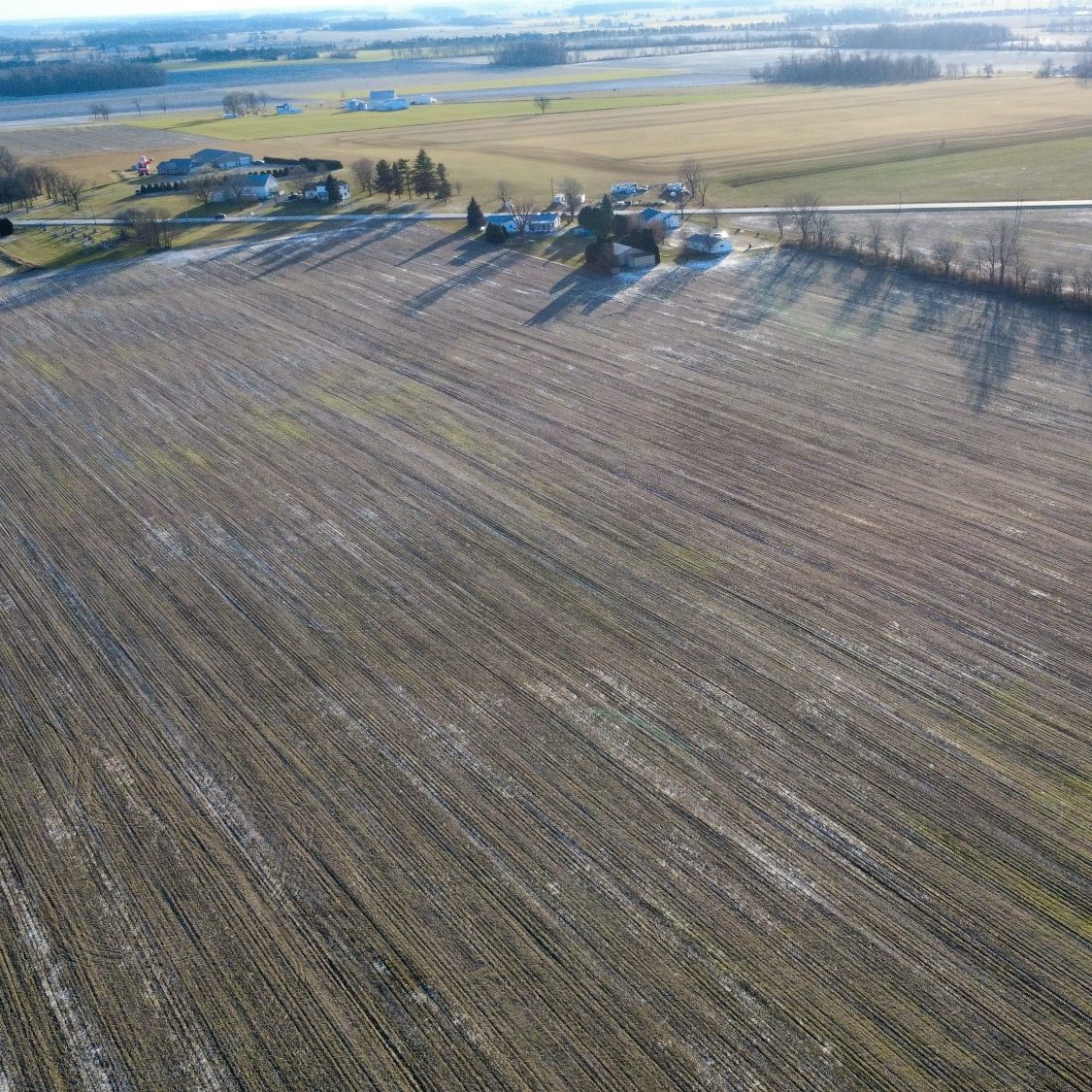
Drone‑powered inspections and mapping give developers, landowners, and planners the clarity they need to make confident decisions long before construction begins.
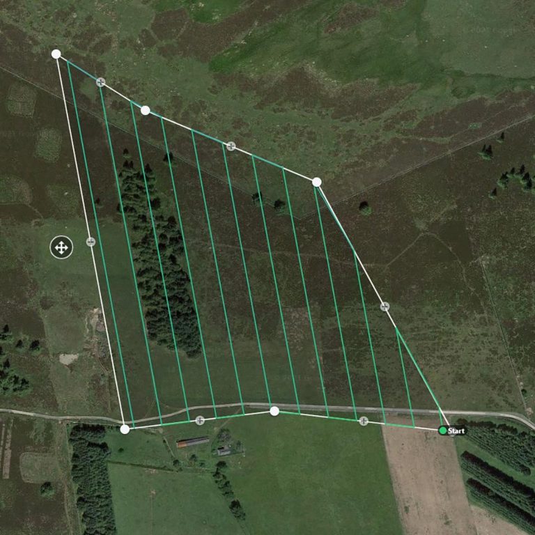
Using high‑resolution aerial imaging, precise GPS data, and advanced mapping software, drone surveys deliver accurate, up‑to‑date insights across large or complex properties—without the cost, delays, or limitations of traditional ground surveys.
Whether you're evaluating a new build site, monitoring land changes, planning utilities, or assessing environmental impact, drone mapping provides the fast, safe, and data‑rich foundation every project des